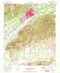
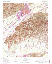
1951 Map of Santa Paula
USGS Topo · Published 1968About this map
Santa Paula serves as the focal point of this coastal valley landscape, where urban growth is clearly defined by 1967 photorevisions over the original 1951 topography. The town's institutional backbone is well-documented, featuring the St Sebastian School, Union High Sch, and the Santa Paula Cemetery. The industrial character of the region is dominated by extensive Oil Wells peppered across the slopes of South Mountain, highlighting the area's mid-century petroleum production.
Find a feature on this map
59 named features on this map. Tap any name to fly to it.
Don’t see what you’re looking for? This feature index may not catch every label — zoom into the map to look around manually.
Map Details
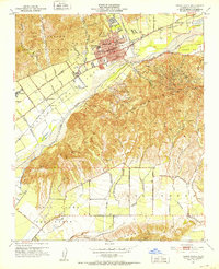
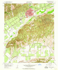
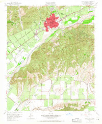
Editions of this 1951 Santa Paula Map
6 editions found

Other maps of this area

1900 · Triunfo Pass
USGS Topo · 1:62,500

1900 · Piru
USGS Topo · 1:62,500

1903 · Santa Paula
USGS Topo · 1:62,500

1903 · Camulos
USGS Topo · 1:125,000

1904 · Hueneme
USGS Topo · 1:62,500

1921 · Piru
USGS Topo · 1:62,500

1921 · Triunfo Pass
USGS Topo · 1:62,500

1941 · Piru
USGS Topo · 1:62,500

1942 · Santa Paula
USGS Topo · 1:62,500

1942 · Hueneme
USGS Topo · 1:62,500