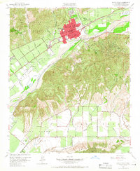
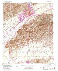
1951 Map of Santa Paula
USGS Topo · Published 1966About this map
The citrus groves and oil-rich slopes of Ventura County are meticulously detailed in this early 1950s survey. Santa Paula serves as the central hub, its residential grid tightly packed between the Santa Clara River and the foothills. The landscape is defined by its transition from agricultural valley floors to the industrial activity on South Mountain, where numerous oil wells are scattered across the terrain.
Find a feature on this map
53 named features on this map. Tap any name to fly to it.
Don’t see what you’re looking for? This feature index may not catch every label — zoom into the map to look around manually.
Map Details
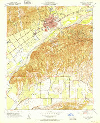
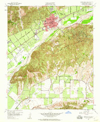
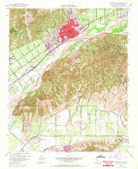
Editions of this 1951 Santa Paula Map
6 editions found

Other maps of this area

1900 · Triunfo Pass
USGS Topo · 1:62,500

1900 · Piru
USGS Topo · 1:62,500

1903 · Santa Paula
USGS Topo · 1:62,500

1903 · Camulos
USGS Topo · 1:125,000

1904 · Hueneme
USGS Topo · 1:62,500

1921 · Piru
USGS Topo · 1:62,500

1921 · Triunfo Pass
USGS Topo · 1:62,500

1941 · Piru
USGS Topo · 1:62,500

1942 · Santa Paula
USGS Topo · 1:62,500

1942 · Hueneme
USGS Topo · 1:62,500