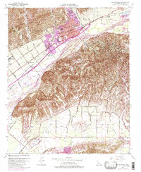
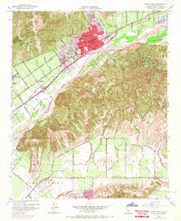
1951 Map of Santa Paula
USGS Topo · Published 1980About this map
Santa Paula serves as the focal point of this mid-century survey, positioned between the steep Santa Paula Ridge and the broad valley of the Santa Clara River. The era's educational infrastructure is exceptionally well-documented, with numerous neighborhood schools such as Barbara Webster Sch, Mckevett Sch, and the St Sebastian School serving the growing community. Transportation and irrigation patterns of the early 1950s are clear, with the Southern Pacific railroad and Telegraph Road paralleling the river, while a complex system of ditches and a Percolation Basin support the agricultural landscape. To the south, the terrain rises into South Mountain, overlooking the agricultural developments of Las Posas and the Camarillo Hills. Historical land grants remain a visible part of the geography, with the Ex Mission San Buenaventura boundary and various Grant Boundary lines still marking the legal landscape of Ventura County.
Find a feature on this map
62 named features on this map. Tap any name to fly to it.
Don’t see what you’re looking for? This feature index may not catch every label — zoom into the map to look around manually.
Map Details
Editions of this 1951 Santa Paula Map
6 editions found
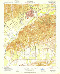
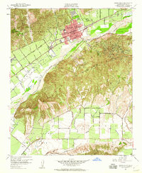
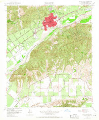

Other maps of this area

1900 · Triunfo Pass
USGS Topo · 1:62,500

1900 · Piru
USGS Topo · 1:62,500

1903 · Santa Paula
USGS Topo · 1:62,500

1903 · Camulos
USGS Topo · 1:125,000

1904 · Hueneme
USGS Topo · 1:62,500

1921 · Piru
USGS Topo · 1:62,500

1921 · Triunfo Pass
USGS Topo · 1:62,500

1941 · Piru
USGS Topo · 1:62,500

1942 · Santa Paula
USGS Topo · 1:62,500

1942 · Hueneme
USGS Topo · 1:62,500