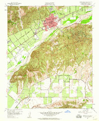
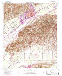
1951 Map of Santa Paula
USGS Topo · Published 1960About this map
The citrus and oil industries of the mid-century Santa Clara River Valley are clearly visible in this survey centered on Santa Paula. Extensive lemon and orange groves stretch across the valley floor, supported by the local settlements of Limoneira and Limon. The town itself is a dense hub of civic life, featuring numerous educational institutions like Union High Sch, McKevett Sch, and Isbell Sch, alongside the KSPA Radio Tower and a dedicated Airport.
Find a feature on this map
52 named features on this map. Tap any name to fly to it.
Don’t see what you’re looking for? This feature index may not catch every label — zoom into the map to look around manually.
Map Details
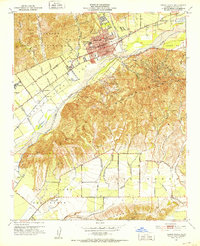
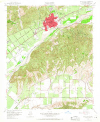
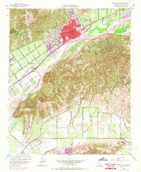
Editions of this 1951 Santa Paula Map
6 editions found

Other maps of this area

1900 · Triunfo Pass
USGS Topo · 1:62,500

1900 · Piru
USGS Topo · 1:62,500

1903 · Santa Paula
USGS Topo · 1:62,500

1903 · Camulos
USGS Topo · 1:125,000

1904 · Hueneme
USGS Topo · 1:62,500

1921 · Piru
USGS Topo · 1:62,500

1921 · Triunfo Pass
USGS Topo · 1:62,500

1941 · Piru
USGS Topo · 1:62,500

1942 · Santa Paula
USGS Topo · 1:62,500

1942 · Hueneme
USGS Topo · 1:62,500