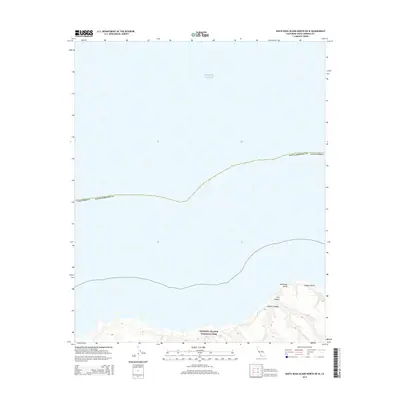
2015 Map of Santa Rosa Island North OE W
USGS Topo · Published 2015About this map
Channel Islands National Park encompasses the rugged coastline and northern waters of Santa Rosa Island. This coastal stretch of the Pacific Ocean is defined by a landscape of deep canyons and prominent points that have remained largely undeveloped. The maritime geography is marked by Brockway Point, while the interior terrain is carved by notable drainages including Cañada Soledad, Cañada Verde, and Dry Canyon. The lack of roads or settlements emphasizes the island’s role as a protected natural sanctuary within Santa Barbara County. This topographic record highlights the complex contouring of the island's north shore, providing a precise look at the drainage patterns and coastal features essential for maritime history and conservation research.
Find a feature on this map
8 named features on this map. Tap any name to fly to it.
Don’t see what you’re looking for? This feature index may not catch every label — zoom into the map to look around manually.
Map Details
Editions of this 2015 Santa Rosa Island North OE W Map
This is the sole edition of this map. No revisions or reprints were ever made.
Other maps of this area
1943 · Santa Rosa Island West
USGS Topo · 1:24,000
1943 · Santa Rosa Island North
USGS Topo · 1:24,000
1943 · San Miguel Island East
USGS Topo · 1:24,000

1948 · Santa Maria
USGS Topo · 1:250,000
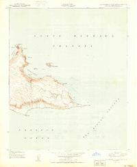
1950 · San Miguel Island East
USGS Topo · 1:24,000

1956 · Santa Maria
USGS Topo · 1:250,000

1957 · Santa Maria
USGS Topo · 1:250,000

1958 · Santa Maria
USGS Topo · 1:250,000

1962 · Santa Maria
USGS Topo · 1:250,000
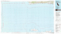
1981 · Point Conception
USGS Topo · 1:100,000