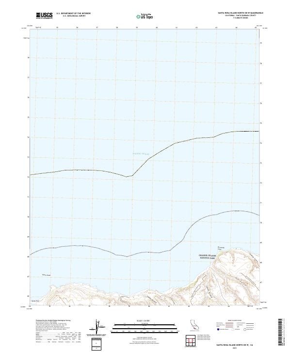
2021 Map of Santa Rosa Island North OE W
USGS Topo · Published 2021About this map
Channel Islands National Park occupies the southern coastline of this maritime survey, revealing the northern tip of Santa Rosa Island. The landscape is defined by deep coastal incisions including Arlington Canyon and Dry Canyon, which drain into the Pacific Ocean. On the westernmost edge, Sandy Point transitions into the submerged hazard of Tacott Shoal, a significant feature for navigating these offshore waters. The island's geography is further detailed by drainage systems like Cañada Tecolote and Cañada Verde, which cut through the uplifted terrain toward the shoreline. Access to the interior is marked by established paths such as Signal Connection Road Trl and Camp Road Trl, providing a glimpse into the management and preservation of this protected island environment in the early twenty-first century.
Find a feature on this map
13 named features on this map. Tap any name to fly to it.
Don’t see what you’re looking for? This feature index may not catch every label — zoom into the map to look around manually.
Map Details
Editions of this 2021 Santa Rosa Island North OE W Map
This is the sole edition of this map. No revisions or reprints were ever made.
Other maps of this area
1943 · Santa Rosa Island West
USGS Topo · 1:24,000
1943 · Santa Rosa Island North
USGS Topo · 1:24,000
1943 · San Miguel Island East
USGS Topo · 1:24,000

1948 · Santa Maria
USGS Topo · 1:250,000
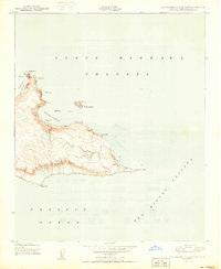
1950 · San Miguel Island East
USGS Topo · 1:24,000

1956 · Santa Maria
USGS Topo · 1:250,000

1957 · Santa Maria
USGS Topo · 1:250,000

1958 · Santa Maria
USGS Topo · 1:250,000

1962 · Santa Maria
USGS Topo · 1:250,000
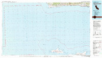
1981 · Point Conception
USGS Topo · 1:100,000