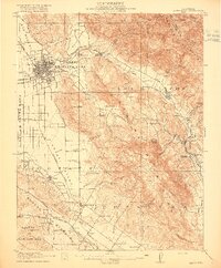
1916 Map of Santa Rosa
USGS Topo · Published 1916About this map
Santa Rosa serves as the central hub of this 1914 survey, where the Northwestern Pacific railroad corridor meets the developing State Highway. The landscape is defined by the broad Llano de Santa Rosa and Cotati Valley to the west, contrasted with the steep elevations of the Sonoma Mountains and the Mayacamas Mountains to the east. Smaller settlements like Kenwood, Glen Ellen, and Cotati are linked by the rail networks of the Southern Pacific, which snakes through Los Guilicos and the eastern canyons.
Find a feature on this map
88 named features on this map. Tap any name to fly to it.
Don’t see what you’re looking for? This feature index may not catch every label — zoom into the map to look around manually.
Map Details
Editions of this 1916 Santa Rosa Map
3 editions found
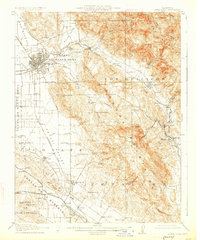
Other maps of this area

1902 · Napa
USGS Topo · 1:125,000

1914 · Petaluma
USGS Topo · 1:62,500

1916 · Mare Island
USGS Topo · 1:62,500

1916 · Santa Rosa
USGS Topo · 1:62,500

1916 · Point Reyes
USGS Topo · 1:48,000

1918 · Point Reyes
USGS Topo · 1:62,500

1920 · Healdsburg
USGS Topo · 1:62,500

1927 · Calistoga
USGS Topo · 1:62,500

1933 · Healdsburg
USGS Topo · 1:48,000

1935 · Sebastopol
USGS Topo · 1:48,000