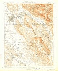
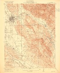
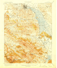
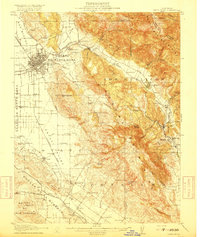
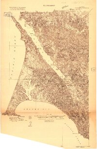
1916 Map of Santa Rosa
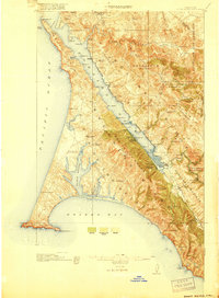
USGS Topo · Published 1927About this map
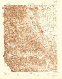
The Cabeza De Santa Rosa and surrounding valleys of Sonoma County appear here in a period of agricultural transition and rail-based commerce. The city of Santa Rosa serves as a central hub, with the Northwestern Pacific and Southern Pacific railroads threading through the landscape to connect smaller settlements like Glen Ellen, Kenwood, and Cotati. This 1914 survey captures a rural social infrastructure defined by its network of local schoolhouses, including the Todd School and Strawberry School, and community landmarks such as Grangers Hall and the Sonoma State Home. The terrain is marked by the Sonoma Mountains and Wakma Mountains, where extractive industries like the Quarries near Melitta operated alongside historic landholdings like the McCormick Ranch and the Adobe Fort near Adobe Creek.
Find a feature on this map
96 named features on this map. Tap any name to fly to it.
Don’t see what you’re looking for? This feature index may not catch every label — zoom into the map to look around manually.
Map Details
Editions of this 1916 Santa Rosa Map
3 editions found
Other maps of this area

1902 · Napa
USGS Topo · 1:125,000
1914 · Petaluma
USGS Topo · 1:62,500

1916 · Mare Island
USGS Topo · 1:62,500
1916 · Santa Rosa
USGS Topo · 1:62,500
1916 · Point Reyes
USGS Topo · 1:48,000
1918 · Point Reyes
USGS Topo · 1:62,500
1920 · Healdsburg
USGS Topo · 1:62,500

1927 · Calistoga
USGS Topo · 1:62,500
1933 · Healdsburg
USGS Topo · 1:48,000
1935 · Sebastopol
USGS Topo · 1:48,000