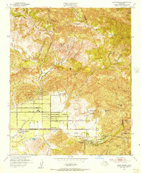
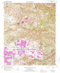
1951 Map of Santa Susana
USGS Topo · Published 1956About this map
Simi Valley is anchored by the growing community of Santa Susana, where the Southern Pacific railroad runs parallel to Los Angeles Ave. This 1951 survey reveals a landscape of transition, where established agricultural operations like Tapo Ranch and Marr Ranch sit north of the valley floor while the emerging residential patterns of Santa Susana Knolls and Corriganville take shape to the east. The presence of the Santa Susana Airport and the Simi Valley High Sch suggests a community in the midst of mid-century development.
Find a feature on this map
50 named features on this map. Tap any name to fly to it.
Don’t see what you’re looking for? This feature index may not catch every label — zoom into the map to look around manually.
Map Details
Editions of this 1951 Santa Susana Map
6 editions found
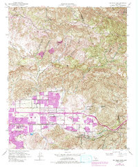
Other maps of this area

1900 · Triunfo Pass
USGS Topo · 1:62,500

1900 · Piru
USGS Topo · 1:62,500

1903 · Calabasas
USGS Topo · 1:62,500

1903 · Camulos
USGS Topo · 1:125,000

1903 · Santa Susana
USGS Topo · 1:62,500

1921 · Piru
USGS Topo · 1:62,500

1921 · Triunfo Pass
USGS Topo · 1:62,500

1925 · Chatsworth
USGS Topo · 1:24,000

1927 · Chatsworth
USGS Topo · 1:24,000
1929 · Chatsworth
USGS Topo · 1:24,000