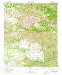
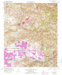
1951 Map of Santa Susana
USGS Topo · Published 1966About this map
Simi Valley is defined by a landscape of rugged canyons and rising ridgelines as it appeared following the 1951 surveys. The community of Santa Susana sits at the heart of this basin, serving as a hub for the Southern Pacific railroad line which pierces the eastern hills through the Santa Susana Tunnel. This era captures a distinct transition between the agricultural operations at Tapo Ranch and Marr Ranch and the early suburban layout along Cochran St and Los Angeles Ave.
Find a feature on this map
48 named features on this map. Tap any name to fly to it.
Don’t see what you’re looking for? This feature index may not catch every label — zoom into the map to look around manually.
Map Details
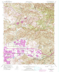
Editions of this 1951 Santa Susana Map
6 editions found
Other maps of this area

1900 · Triunfo Pass
USGS Topo · 1:62,500

1900 · Piru
USGS Topo · 1:62,500

1903 · Calabasas
USGS Topo · 1:62,500

1903 · Camulos
USGS Topo · 1:125,000

1903 · Santa Susana
USGS Topo · 1:62,500

1921 · Piru
USGS Topo · 1:62,500

1921 · Triunfo Pass
USGS Topo · 1:62,500

1925 · Chatsworth
USGS Topo · 1:24,000

1927 · Chatsworth
USGS Topo · 1:24,000
1929 · Chatsworth
USGS Topo · 1:24,000