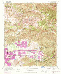
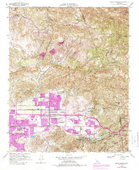
1951 Map of Santa Susana
USGS Topo · Published 1970About this map
The Santa Susana Mountains and Simi Mountain dominate this landscape, where the rugged topography of the Transverse Ranges meets the expanding suburban footprint of the Simi Valley. The map documents a period of rapid transition, with 1969 revisions highlighting new residential tracts spreading across the valley floor near the Simi Valley Freeway. Away from the growing urban center, large landholdings like Marr Ranch and Tapo Ranch occupy the northern canyons, while the Oak Ridge Oil Field and the Tapo Gillibrand Mine illustrate the region's industrial ties to natural resource extraction.
Find a feature on this map
51 named features on this map. Tap any name to fly to it.
Don’t see what you’re looking for? This feature index may not catch every label — zoom into the map to look around manually.
Map Details
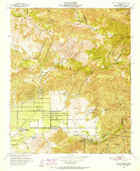
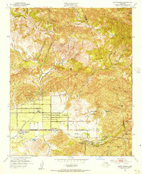
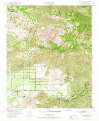
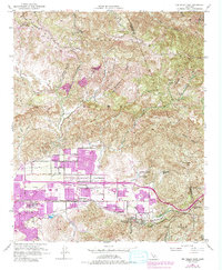
Editions of this 1951 Santa Susana Map
6 editions found
Other maps of this area

1900 · Triunfo Pass
USGS Topo · 1:62,500

1900 · Piru
USGS Topo · 1:62,500

1903 · Calabasas
USGS Topo · 1:62,500

1903 · Camulos
USGS Topo · 1:125,000

1903 · Santa Susana
USGS Topo · 1:62,500

1921 · Piru
USGS Topo · 1:62,500

1921 · Triunfo Pass
USGS Topo · 1:62,500

1925 · Chatsworth
USGS Topo · 1:24,000

1927 · Chatsworth
USGS Topo · 1:24,000
1929 · Chatsworth
USGS Topo · 1:24,000