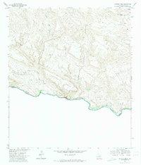
1971 Map of Santana Mesa
USGS Topo · Published 1974About this map
The Rio Grande carves a deep international boundary along the southern edge of this West Texas landscape, separating the high desert of Presidio County from Chihuahua. Dominated by the massive uplift of Santana Mesa, the terrain is defined by complex drainage systems including Madera Canyon and Panther Creek Canyon. Human presence in this isolated borderland is marked by a handful of remote landmarks, such as the settlement at Madril and a Landing Strip situated above the river breaks.
Find a feature on this map
18 named features on this map. Tap any name to fly to it.
Don’t see what you’re looking for? This feature index may not catch every label — zoom into the map to look around manually.
Map Details
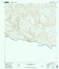
Editions of this 1971 Santana Mesa Map
2 editions found
Other maps of this area

1896 · Polvo
USGS Topo · 1:125,000

1903 · Terlingua
USGS Topo · 1:125,000

1904 · Terlingua
USGS Topo · 1:125,000

1931 · Lajitas
USGS Topo · 1:62,500

1959 · Emory Peak
USGS Topo · 1:250,000

1959 · Presidio
USGS Topo · 1:250,000

1965 · Presidio
USGS Topo · 1:250,000

1965 · Emory Peak
USGS Topo · 1:250,000
1971 · Redford SE
USGS Topo · 1:24,000
1971 · The Solitario
USGS Topo · 1:24,000