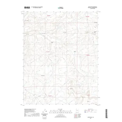
2020 Map of Santos Peak
USGS Topo · Published 2020About this map
Santos Mesa and its namesake peak dominate this high-desert landscape in Rio Arriba County, where a complex network of drainage systems like Muñoz Canyon and Martinez Canyon carve through the plateau. This 2020 survey illustrates the high-altitude topography of northern New Mexico, defined by prominent flat-topped features including Encinada Mesa and Albert Mesa. The drainage patterns of Muñoz Cr and Carrizo Cr dictate the natural travel corridors through this arid terrain. Access across these elevations is maintained by several county routes, such as Co RD 492 and Co RD 495, which follow the contours of the land. The map also highlights distinctive local landmarks such as Magdalena Butte and the deep recesses of Ice Canyon, providing a clear look at the geological character of the region as it appeared in the early twenty-first century.
Find a feature on this map
27 named features on this map. Tap any name to fly to it.
Don’t see what you’re looking for? This feature index may not catch every label — zoom into the map to look around manually.
Map Details
Editions of this 2020 Santos Peak Map
This is the sole edition of this map. No revisions or reprints were ever made.
Other maps of this area

1889 · Largo
USGS Topo · 1:250,000

1895 · Largo
USGS Topo · 1:250,000

1954 · Aztec
USGS Topo · 1:250,000

1958 · Aztec
USGS Topo · 1:250,000

1959 · Gould Pass
USGS Topo · 1:62,500

1959 · Nageezi
USGS Topo · 1:62,500

1962 · Aztec
USGS Topo · 1:250,000

1963 · Lapis Point
USGS Topo · 1:24,000

1963 · Fourmile Canyon
USGS Topo · 1:24,000

1963 · Gobernador
USGS Topo · 1:24,000