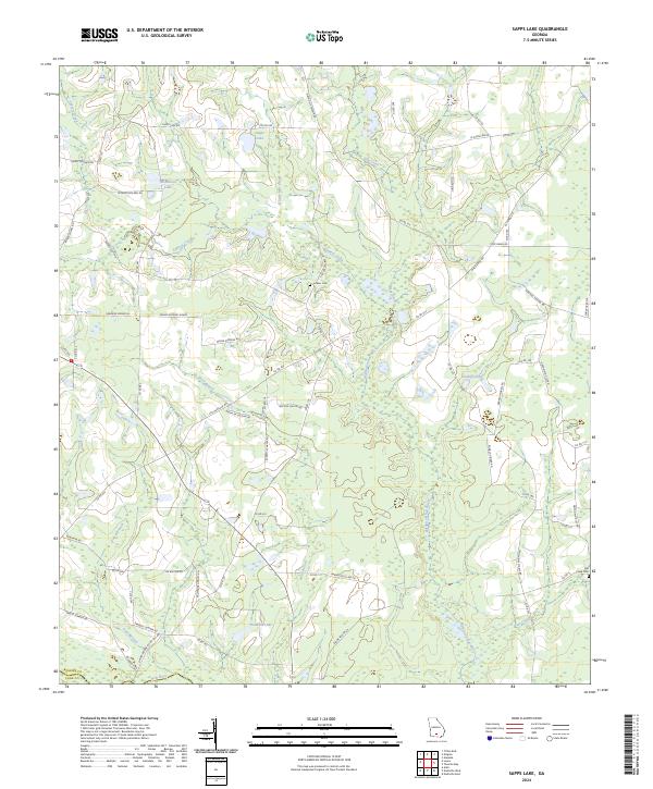
2024 Map of Sapps Lake
USGS Topo · Published 2024About this map
The Withlacoochee River carves a winding path through this corner of the Georgia coastal plain, where the landscape is defined by an extensive network of blackwater creeks and cypress-lined basins. Several small impoundments and natural depressions, including Sapps Lake, Mcmillian Lake, and Gaskins Lake, serve as focal points for local landholdings. The terrain is crisscrossed by namesake family roads such as W James Golden Rd and Ralph McClellan Rd, reflecting a rural settlement pattern rooted in multi-generational agriculture.
Find a feature on this map
73 named features on this map. Tap any name to fly to it.
Don’t see what you’re looking for? This feature index may not catch every label — zoom into the map to look around manually.
Map Details
Editions of this 2024 Sapps Lake Map
This is the sole edition of this map. No revisions or reprints were ever made.
Other maps of this area

1953 · Waycross
USGS Topo · 1:250,000

1958 · Waycross
USGS Topo · 1:250,000

1972 · Tenmile Bay
USGS Topo · 1:24,000

1973 · Adel
USGS Topo · 1:24,000

1973 · Sapps Lake
USGS Topo · 1:24,000

1973 · Nashville West
USGS Topo · 1:24,000

1973 · Enigma
USGS Topo · 1:24,000

1973 · Lenox
USGS Topo · 1:24,000

1973 · Tifton East
USGS Topo · 1:24,000
1977 · Alapaha
USGS Topo · 1:24,000