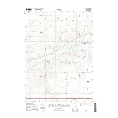
2017 Map of Saranac
USGS Topo · Published 2017About this map
The village of Saranac serves as the central hub of this 2017 study of the Grand River valley in Ionia County. The Grand River flows through the landscape, flanked by the Fred Meijer Grand River Valley Trail, which follows an old railroad alignment through the heart of the settlement. To the east, the Ionia Rec. Area encompasses Sessions Lake and an extensive network of multi-use trails, including the Chief Cob-Moo-Sa and Horse and Ski trails.
Find a feature on this map
78 named features on this map. Tap any name to fly to it.
Don’t see what you’re looking for? This feature index may not catch every label — zoom into the map to look around manually.
Map Details
Editions of this 2017 Saranac Map
This is the sole edition of this map. No revisions or reprints were ever made.
Other maps of this area

1916 · Ionia
USGS Topo · 1:62,500

1918 · Ionia
USGS Topo · 1:62,500

1918 · Lowell
USGS Topo · 1:62,500

1943 · Ionia
USGS Topo · 1:62,500

1943 · Lowell
USGS Topo · 1:62,500

1954 · Midland
USGS Topo · 1:250,000

1958 · Midland
USGS Topo · 1:250,000

1958 · Grand Rapids
USGS Topo · 1:250,000

1959 · Midland
USGS Topo · 1:250,000

1961 · Grand Rapids
USGS Topo · 1:250,000