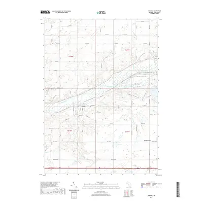
2019 Map of Saranac
USGS Topo · Published 2019About this map
The Grand River carves a central path through this portion of Ionia County, defining the development of Saranac. This river corridor serves as the primary axis for local geography, influenced by the surrounding drainage systems of Crooked Cr and Lake Cr. The settlement of Saranac is positioned near the river's bend, where a concentrated network of streets like Main St and Church St meet the waterway.
Find a feature on this map
69 named features on this map. Tap any name to fly to it.
Don’t see what you’re looking for? This feature index may not catch every label — zoom into the map to look around manually.
Map Details
Editions of this 2019 Saranac Map
This is the sole edition of this map. No revisions or reprints were ever made.
Other maps of this area

1916 · Ionia
USGS Topo · 1:62,500

1918 · Ionia
USGS Topo · 1:62,500

1918 · Lowell
USGS Topo · 1:62,500

1943 · Ionia
USGS Topo · 1:62,500

1943 · Lowell
USGS Topo · 1:62,500

1954 · Midland
USGS Topo · 1:250,000

1958 · Midland
USGS Topo · 1:250,000

1958 · Grand Rapids
USGS Topo · 1:250,000

1959 · Midland
USGS Topo · 1:250,000

1961 · Grand Rapids
USGS Topo · 1:250,000