Loading...
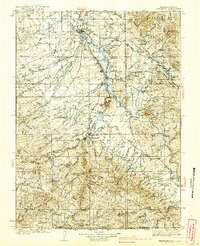
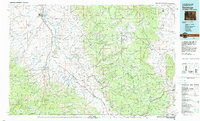
Loading map...1939 Map of Saratoga
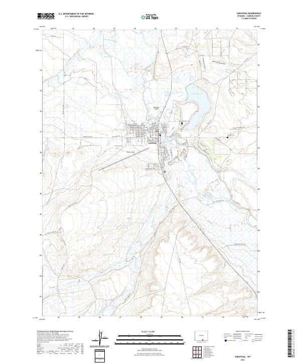
USGS Topo · Published 1939About this map
The North Platte River flows through the heart of this upper valley region, anchoring a landscape where ranching and early forestry converge near the Continental Divide. Centered on the town of Saratoga, the map reveals a network of homesteads and remote outposts, including the Kennaday Ranch and Skyline Ranch. The Saratoga & Encampment Valley RR provides a critical industrial link south to Encampment and Riverside, supporting the transport of timber and minerals from the nearby Medicine Bow National Forest.
Find a feature on this map
106 named features on this map. Tap any name to fly to it.
Don’t see what you’re looking for? This feature index may not catch every label — zoom into the map to look around manually.
Map Details
Date Portrayed1939
Date Published1939
PublisherU.S. Geological Survey
Map TypeTopographic
Scale1:125,000
Physical Dimensions16.07 x 19.78 inches
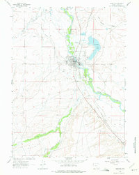
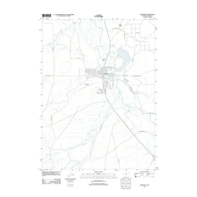
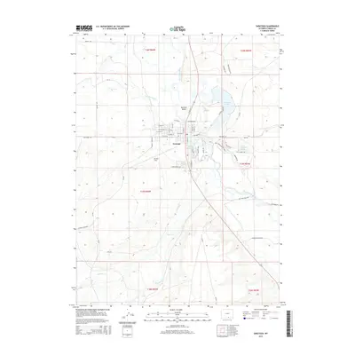
Editions of this 1939 Saratoga Map
3 editions found
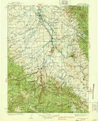
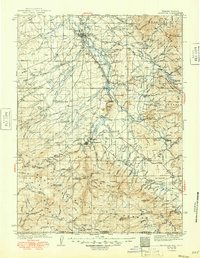
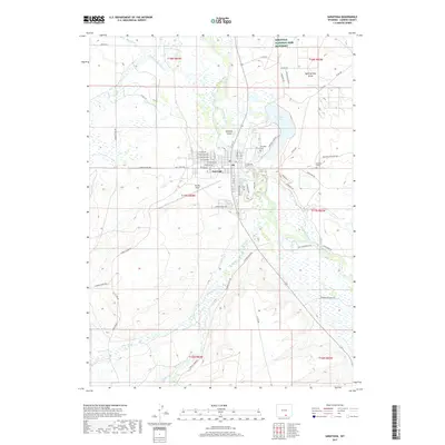
Historical Maps of Saratoga Through Time
7 maps found
Featured Locations
Source Details
SourceU.S. Geological Survey
CopyrightPublic Domain