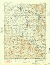
1939 Map of Saratoga
USGS Topo · Published 1949About this map
The North Platte River flows northward through the heart of this Wyoming landscape, anchoring the settlements of Saratoga, Riverside, and Encampment. Surveyed in the 1930s, the map reveals a region defined by ranching and high-altitude wilderness, with several family-run operations like Kennaday Ranch, Condict Ranch, and the Garroutte Ranch dotting the valley. The presence of the Medicine Bow National Forest dominates the eastern half of the sheet, where peaks such as Kennaday Peak and Bennett Peak rise above the timberline.
Find a feature on this map
121 named features on this map. Tap any name to fly to it.
Don’t see what you’re looking for? This feature index may not catch every label — zoom into the map to look around manually.
Map Details
Editions of this 1939 Saratoga Map
3 editions found
Other maps of this area

1893 · Fort Steele
USGS Topo · 1:125,000

1906 · Medicine Bow
USGS Topo · 1:125,000

1908 · Medicine Bow
USGS Topo · 1:125,000

1911 · Hahns Peak
USGS Topo · 1:125,000

1913 · Hahns Peak
USGS Topo · 1:125,000

1932 · Savery
USGS Topo · 1:96,000

1939 · Saratoga
USGS Topo · 1:125,000

1940 · Savery
USGS Topo · 1:125,000

1954 · Rawlins
USGS Topo · 1:250,000

1954 · Craig
USGS Topo · 1:250,000