Loading...
Loading map...1961 Map of Saratoga
USGS Topo · Published 1975About this map
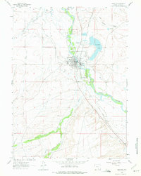
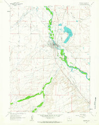
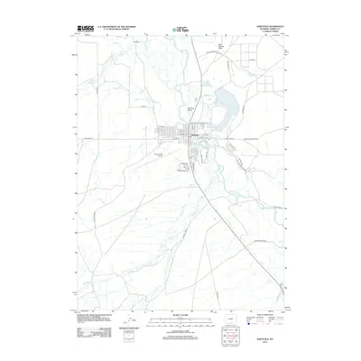
Saratoga sits at the heart of this early 1960s landscape, defined by its relationship with the North Platte River and the braided channels of the Mullison Island area. The town serves as a hub for the surrounding ranching and rail activity, evidenced by the Union Pacific line and the presence of the Shively Airport. Notable for its geothermal activity, the map highlights the Hot Springs just east of the river, near the Fairground and a Race Track (Aban'd).
Find a feature on this map
34 named features on this map. Tap any name to fly to it.
Don’t see what you’re looking for? This feature index may not catch every label — zoom into the map to look around manually.
Map Details
Date Portrayed1961
Date Published1975
PublisherU.S. Geological Survey
Map TypeTopographic
Scale1:24,000
Physical Dimensions21.3 x 26.7 inches
Editions of this 1961 Saratoga Map
2 editions found
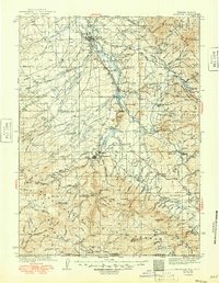
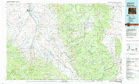
Historical Maps of Saratoga Through Time
7 maps found
Featured Locations
Source Details
SourceU.S. Geological Survey
CopyrightPublic Domain