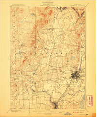
1902 Map of Saratoga
USGS Topo · Published 1908About this map
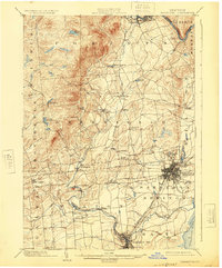
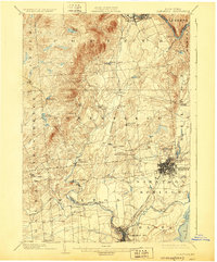
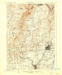
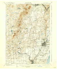
Saratoga Springs and Ballston Spa serve as the primary hubs in this early twentieth-century survey of the eastern Adirondack foothills. The landscape is defined by the winding course of the Kayaderosseras Creek and a dense network of transportation, including the Adirondack R.R. and several Electric R.R. lines that connected these resort and industrial communities. To the north, the Hudson River cuts through the township of Corinth, while the western uplands around Mt. Pleasant and Lake Desolation show a much sparser settlement pattern compared to the valley floors.
Find a feature on this map
55 named features on this map. Tap any name to fly to it.
Don’t see what you’re looking for? This feature index may not catch every label — zoom into the map to look around manually.
Map Details
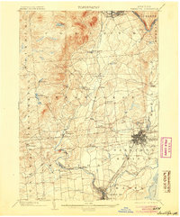
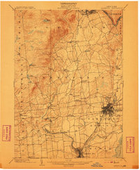
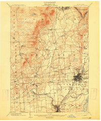
Editions of this 1902 Saratoga Map
9 editions found

Other maps of this area

1893 · Cohoes
USGS Topo · 1:62,500

1893 · Schenectady
USGS Topo · 1:62,500

1895 · Cohoes
USGS Topo · 1:62,500

1895 · Schenectady
USGS Topo · 1:62,500

1895 · Amsterdam
USGS Topo · 1:62,500

1895 · Glens Falls
USGS Topo · 1:62,500

1897 · Glens Falls
USGS Topo · 1:62,500

1898 · Schenectady
USGS Topo · 1:62,500

1898 · Cohoes
USGS Topo · 1:62,500

1899 · Broadalbin
USGS Topo · 1:62,500