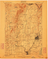
1902 Map of Saratoga
USGS Topo · Published 1910About this map
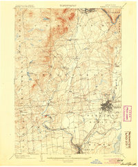
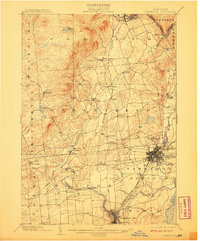
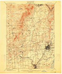
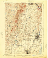
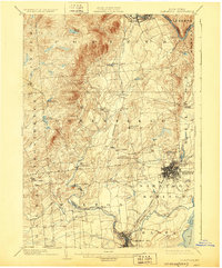
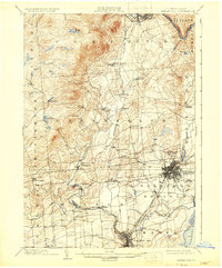
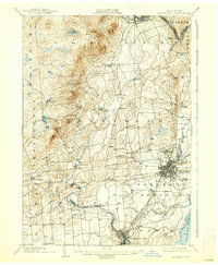
Saratoga Springs serves as the focal point of this 1902 survey, captured just as the region's fame as a resort and transportation hub was firmly established. The dense grid of the village is bounded by the Fitchburg R. R. and the Delaware and Hudson R. R., while the Electric R. R. lines indicate the early 20th-century shift toward interurban transit. To the south, Ballston Spa sits at the confluence of the Kayaderosseras Creek and its industrial tributaries, which powered early mills.
Find a feature on this map
47 named features on this map. Tap any name to fly to it.
Don’t see what you’re looking for? This feature index may not catch every label — zoom into the map to look around manually.
Map Details
Editions of this 1902 Saratoga Map
9 editions found

Other maps of this area

1893 · Cohoes
USGS Topo · 1:62,500

1893 · Schenectady
USGS Topo · 1:62,500

1895 · Cohoes
USGS Topo · 1:62,500

1895 · Schenectady
USGS Topo · 1:62,500

1895 · Amsterdam
USGS Topo · 1:62,500

1895 · Glens Falls
USGS Topo · 1:62,500

1897 · Glens Falls
USGS Topo · 1:62,500

1898 · Schenectady
USGS Topo · 1:62,500

1898 · Cohoes
USGS Topo · 1:62,500

1899 · Broadalbin
USGS Topo · 1:62,500