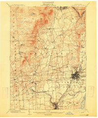
1902 Map of Saratoga
USGS Topo · Published 1915About this map
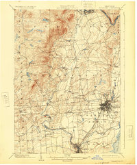
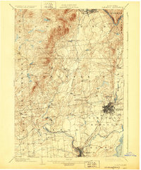
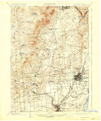
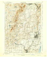
Saratoga Springs and Ballston Spa anchor this early 20th-century landscape, appearing as dense street grids during a period when the region's mineral springs and resorts were at their peak. The map captures a sophisticated transportation network, featuring the Delaware and Hudson RR, the Fitchburg line, and several lines of the Hudson Valley Electric RR threading between the towns. To the north and west, the terrain rises into the southern Adirondack foothills, where smaller hamlets like Middle Grove and Porter Corners are scattered along watercourses such as Kayaderosseras Creek. Industrial activity is evident at Rock City Falls, while the expansive Woodlawn Park occupies the northern edge of Saratoga Springs. From the high waters of Lake Desolation to the banks of the Hudson River near Corinth, the sheet documents a well-established rural-to-urban gradient before modern highway development.
Find a feature on this map
49 named features on this map. Tap any name to fly to it.
Don’t see what you’re looking for? This feature index may not catch every label — zoom into the map to look around manually.
Map Details
Editions of this 1902 Saratoga Map
9 editions found

Other maps of this area

1893 · Cohoes
USGS Topo · 1:62,500

1893 · Schenectady
USGS Topo · 1:62,500

1895 · Cohoes
USGS Topo · 1:62,500

1895 · Schenectady
USGS Topo · 1:62,500

1895 · Amsterdam
USGS Topo · 1:62,500

1895 · Glens Falls
USGS Topo · 1:62,500

1897 · Glens Falls
USGS Topo · 1:62,500

1898 · Schenectady
USGS Topo · 1:62,500

1898 · Cohoes
USGS Topo · 1:62,500

1899 · Broadalbin
USGS Topo · 1:62,500