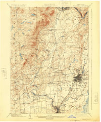
1902 Map of Saratoga
USGS Topo · Published 1925About this map
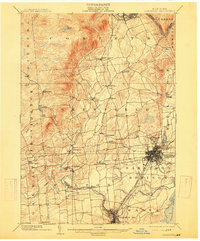
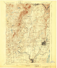
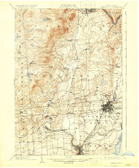
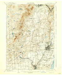
Saratoga Springs and Ballston Spa serve as the primary hubs of this region at the turn of the century, showcasing a sophisticated network of transportation that includes the Adirondack RR, the Delaware and Hudson RR, and an extensive Electric RR system. The map documents the industrial and resort character of Saratoga County, where the dense street grid of the springs gives way to manufacturing hamlets like Rock City Falls and Middlegrove along the winding Kayaderosseras Creek.
Find a feature on this map
50 named features on this map. Tap any name to fly to it.
Don’t see what you’re looking for? This feature index may not catch every label — zoom into the map to look around manually.
Map Details
Editions of this 1902 Saratoga Map
9 editions found

Other maps of this area

1893 · Cohoes
USGS Topo · 1:62,500

1893 · Schenectady
USGS Topo · 1:62,500

1895 · Cohoes
USGS Topo · 1:62,500

1895 · Schenectady
USGS Topo · 1:62,500

1895 · Amsterdam
USGS Topo · 1:62,500

1895 · Glens Falls
USGS Topo · 1:62,500

1897 · Glens Falls
USGS Topo · 1:62,500

1898 · Schenectady
USGS Topo · 1:62,500

1898 · Cohoes
USGS Topo · 1:62,500

1899 · Broadalbin
USGS Topo · 1:62,500