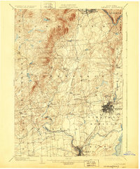
1902 Map of Saratoga
USGS Topo · Published 1929About this map
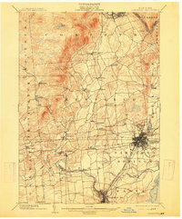
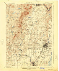
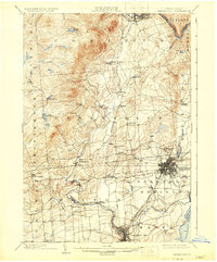
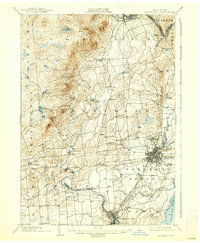
Saratoga Springs and Ballston Spa anchor this turn-of-the-century landscape, appearing as established hubs of commerce and rail during a period of significant regional growth. The intricate network of the Adirondack RR, Delaware and Hudson RR, and the Hudson Valley Electric RR illustrates the era's reliance on both steam and electric transit to connect the manufacturing centers and resort towns. The industrial character of the region is evident in the water-powered sites along Kayaderosseras Creek, feeding settlements like Rock City Falls and Middle Grove.
Find a feature on this map
45 named features on this map. Tap any name to fly to it.
Don’t see what you’re looking for? This feature index may not catch every label — zoom into the map to look around manually.
Map Details
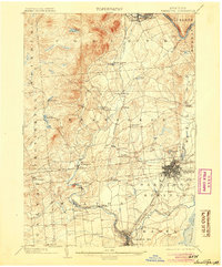
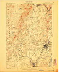
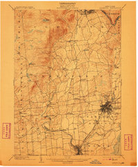
Editions of this 1902 Saratoga Map
9 editions found

Other maps of this area

1893 · Cohoes
USGS Topo · 1:62,500

1893 · Schenectady
USGS Topo · 1:62,500

1895 · Cohoes
USGS Topo · 1:62,500

1895 · Schenectady
USGS Topo · 1:62,500

1895 · Amsterdam
USGS Topo · 1:62,500

1895 · Glens Falls
USGS Topo · 1:62,500

1897 · Glens Falls
USGS Topo · 1:62,500

1898 · Schenectady
USGS Topo · 1:62,500

1898 · Cohoes
USGS Topo · 1:62,500

1899 · Broadalbin
USGS Topo · 1:62,500