
1902 Map of Saratoga
USGS Topo · Published 1902About this map
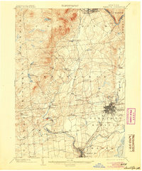
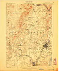
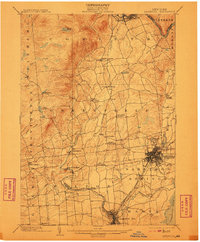
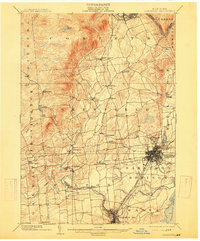
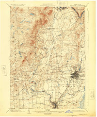
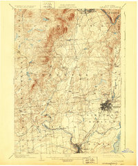
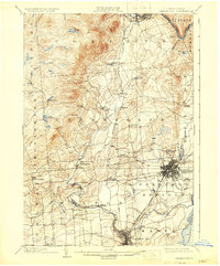
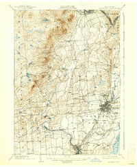
Saratoga Springs serves as the focal point of this 1902 survey, displaying a dense urban grid and established rail infrastructure at the start of the century. The map highlights the region's importance as a hub for both transportation and leisure, featuring the confluence of the Adirondack R. R., Fitchburg R. R., and the Electric R. R. lines. To the south, Ballston Spa is intricately detailed, while the surrounding landscape is marked by industrial and agricultural hamlets such as Rock City Falls and Middlegrove along the Kayaderosseras Creek.
Find a feature on this map
43 named features on this map. Tap any name to fly to it.
Don’t see what you’re looking for? This feature index may not catch every label — zoom into the map to look around manually.
Map Details
Editions of this 1902 Saratoga Map
9 editions found
Other maps of this area

1893 · Cohoes
USGS Topo · 1:62,500

1893 · Schenectady
USGS Topo · 1:62,500

1895 · Cohoes
USGS Topo · 1:62,500

1895 · Schenectady
USGS Topo · 1:62,500

1895 · Amsterdam
USGS Topo · 1:62,500

1895 · Glens Falls
USGS Topo · 1:62,500

1897 · Glens Falls
USGS Topo · 1:62,500

1898 · Schenectady
USGS Topo · 1:62,500

1898 · Cohoes
USGS Topo · 1:62,500

1899 · Broadalbin
USGS Topo · 1:62,500