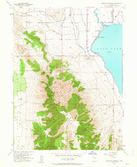
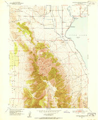
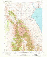
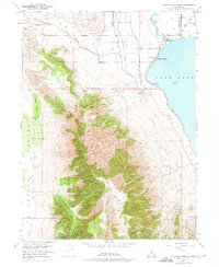
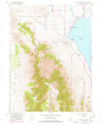
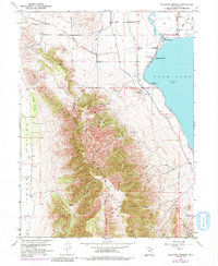
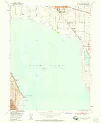
1951 Map of Saratoga Springs
USGS Topo · Published 1963About this map
Saratoga Springs and the northern shores of Utah Lake define this mid-century landscape where water management and desert terrain meet. The Jordan River exits the lake near a local Spring and Hot Springs, marking a critical hydrologic junction for the region. Significant infrastructure projects like the Salt Lake Aqueduct and the Provo Reservoir Canal contour the base of the Lake Mountains, illustrating the complex engineering required to transport water through the arid benchlands. To the west, the map transitions into the steep, wooded slopes of Webb Cedars and the high ridges of the mountains, which are dissected by numerous drainages such as Israel Canyon and Lott Canyon. Local industry is evidenced by the Clay Pits near Landrock and several mining prospects tucked into the canyons, while the Salt Lake Meridian provides a primary surveying reference point for the surrounding Utah County townships.
Find a feature on this map
35 named features on this map. Tap any name to fly to it.
Don’t see what you’re looking for? This feature index may not catch every label — zoom into the map to look around manually.
Map Details
Editions of this 1951 Saratoga Springs Map
6 editions found
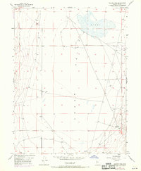
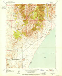
Other maps of this area

1885 · Salt Lake
USGS Topo · 1:250,000

1885 · Tooele Valley
USGS Topo · 1:250,000

1915 · Fairfield
USGS Topo · 1:62,500

1917 · Fairfield
USGS Topo · 1:62,500

1947 · Fivemile Pass
USGS Topo · 1:62,500
1947 · Goshen Pass
USGS Topo · 1:24,000

1949 · Goshen Pass
USGS Topo · 1:24,000
1950 · Soldiers Pass
USGS Topo · 1:24,000
1950 · Pelican Point
USGS Topo · 1:24,000
1950 · Lincoln Point
USGS Topo · 1:24,000