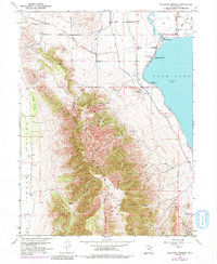
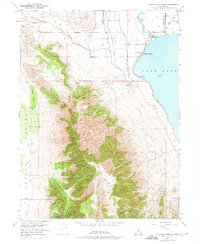
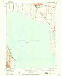
1951 Map of Saratoga Springs
USGS Topo · Published 1984About this map
Saratoga Springs and the northwestern shores of Utah Lake define this mid-century landscape at the base of the Lake Mountains. The map documents a critical water management network where the Jordan River exits the lake, supported by the Murdock Pumping Sta, the Gardner Canal, and the Provo Reservoir Canal. These engineered waterways reflect the agricultural and residential development occurring between the lake and the steep canyons of the western range.
Find a feature on this map
39 named features on this map. Tap any name to fly to it.
Don’t see what you’re looking for? This feature index may not catch every label — zoom into the map to look around manually.
Map Details
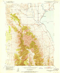
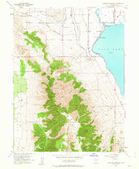
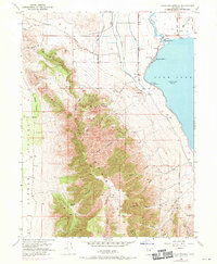
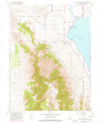
Editions of this 1951 Saratoga Springs Map
6 editions found
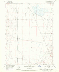
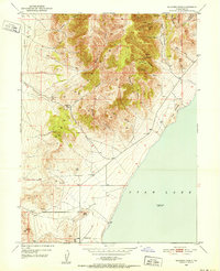
Other maps of this area

1885 · Salt Lake
USGS Topo · 1:250,000

1885 · Tooele Valley
USGS Topo · 1:250,000

1915 · Fairfield
USGS Topo · 1:62,500

1917 · Fairfield
USGS Topo · 1:62,500

1947 · Fivemile Pass
USGS Topo · 1:62,500
1947 · Goshen Pass
USGS Topo · 1:24,000

1949 · Goshen Pass
USGS Topo · 1:24,000
1950 · Soldiers Pass
USGS Topo · 1:24,000
1950 · Pelican Point
USGS Topo · 1:24,000
1950 · Lincoln Point
USGS Topo · 1:24,000