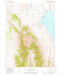
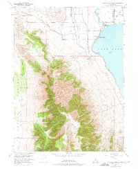
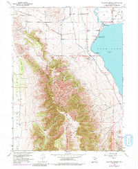
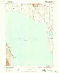
1951 Map of Saratoga Springs
USGS Topo · Published 1978About this map
Saratoga Springs sits at the interface of the Lake Mountains and the northern shores of Utah Lake, showing a landscape defined by water management and early infrastructure. This mid-century survey details the complex network of irrigation and transport, including the Provo Reservoir Canal and the Salt Lake Distributing Canal, which were vital for the region's agricultural development. The presence of the Old Railroad Grade and features like the Murdock Pumping Sta reflect the industrial efforts to harness the Jordan River and surrounding terrain. To the west, the Cedar Valley opens up, while the mountains are dissected by numerous named canyons such as Israel Canyon and Limekiln Canyon, indicating a history of resource extraction, further evidenced by several Prospects and Clay Pits scattered across the slopes.
Find a feature on this map
34 named features on this map. Tap any name to fly to it.
Don’t see what you’re looking for? This feature index may not catch every label — zoom into the map to look around manually.
Map Details
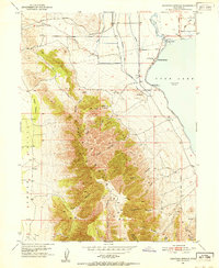
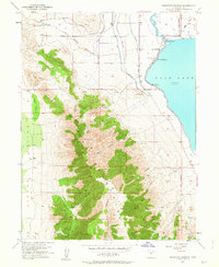
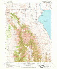
Editions of this 1951 Saratoga Springs Map
6 editions found
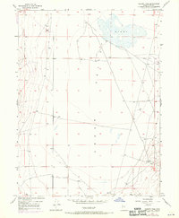
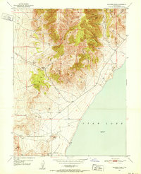
Other maps of this area

1885 · Salt Lake
USGS Topo · 1:250,000

1885 · Tooele Valley
USGS Topo · 1:250,000

1915 · Fairfield
USGS Topo · 1:62,500

1917 · Fairfield
USGS Topo · 1:62,500

1947 · Fivemile Pass
USGS Topo · 1:62,500
1947 · Goshen Pass
USGS Topo · 1:24,000

1949 · Goshen Pass
USGS Topo · 1:24,000
1950 · Soldiers Pass
USGS Topo · 1:24,000
1950 · Pelican Point
USGS Topo · 1:24,000
1950 · Lincoln Point
USGS Topo · 1:24,000