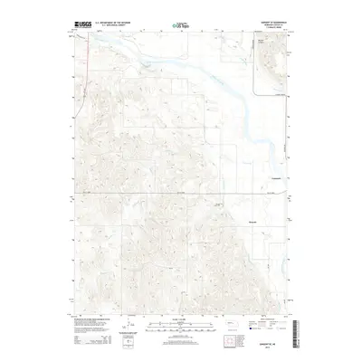
2014 Map of Sargent SE
USGS Topo · Published 2014About this map
The Middle Loup River winds through the northeastern portion of this Custer County landscape, defining a fertile valley where the settlements of Comstock and Wescott are established. This 2014 survey illustrates the region's heavy reliance on water management, featuring the engineered paths of Canal Number 1 and Canal Number 2 as they parallel the river's course. To the west, the terrain transitions into a series of intricate ridges and drainage patterns, including Wagner Cr and the prominent Big Oak Canyon. This area is marked by a network of rural routes such as NE-21C Spur and Round Valley Rd, while the Douglas Grove Cem stands as a local landmark for those researching family history in the township.
Find a feature on this map
17 named features on this map. Tap any name to fly to it.
Don’t see what you’re looking for? This feature index may not catch every label — zoom into the map to look around manually.
Map Details
Editions of this 2014 Sargent SE Map
This is the sole edition of this map. No revisions or reprints were ever made.
Other maps of this area

1951 · Westerville
USGS Topo · 1:24,000

1951 · Ansley NE
USGS Topo · 1:24,000

1951 · Arcadia West
USGS Topo · 1:24,000

1952 · Sargent East
USGS Topo · 1:24,000

1952 · Sargent SE
USGS Topo · 1:24,000

1952 · Sargent West
USGS Topo · 1:24,000

1952 · Comstock
USGS Topo · 1:24,000

1952 · Sargent SW
USGS Topo · 1:24,000

1952 · Comstock NW
USGS Topo · 1:24,000

1955 · Broken Bow
USGS Topo · 1:250,000