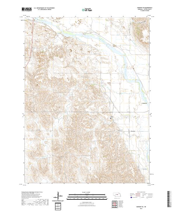
2021 Map of Sargent SE
USGS Topo · Published 2021About this map
The Middle Loup River winds through the heart of Custer County, shaping the agricultural development and water management of this Nebraska landscape. The presence of Canal Number 1 and Canal Number 2 highlights the engineered irrigation systems that support the valley, drawing water away from the main river channel to sustain the surrounding plains. To the east, the settlement of Comstock stands as a primary community hub, while Wescott marks a secondary cluster of development further south along the terrace. For those tracing local heritage, the Douglas Grove Cem provides a specific point of genealogical interest. The terrain transitions from the river bottom to the more complex topography of Big Oak Canyon in the northeast, illustrating the contrast between the fertile lowlands and the higher, eroded canyons typical of the region.
Find a feature on this map
28 named features on this map. Tap any name to fly to it.
Don’t see what you’re looking for? This feature index may not catch every label — zoom into the map to look around manually.
Map Details
Editions of this 2021 Sargent SE Map
This is the sole edition of this map. No revisions or reprints were ever made.
Other maps of this area

1951 · Westerville
USGS Topo · 1:24,000

1951 · Ansley NE
USGS Topo · 1:24,000

1951 · Arcadia West
USGS Topo · 1:24,000

1952 · Sargent East
USGS Topo · 1:24,000

1952 · Sargent SE
USGS Topo · 1:24,000

1952 · Sargent West
USGS Topo · 1:24,000

1952 · Comstock
USGS Topo · 1:24,000

1952 · Sargent SW
USGS Topo · 1:24,000

1952 · Comstock NW
USGS Topo · 1:24,000

1955 · Broken Bow
USGS Topo · 1:250,000