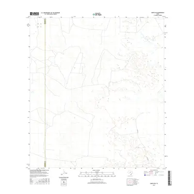
2016 Map of Sarita SW
USGS Topo · Published 2016About this map
The Brooks Co and Kenedy Co border runs vertically through this portion of South Texas, marking a divide in the coastal plains. This 2016 survey highlights a landscape dominated by ranching infrastructure and intermittent wetlands, characteristic of the region's vast pastoral holdings. The inclusion of Turcotte W provides a primary reference point for navigation through the scrub and sandy terrain. While few formal settlements are noted, the map is defined by its depiction of natural hydrography and elevation, offering a clear record of the area's physical geography in the mid-2010s.
Find a feature on this map
2 named features on this map. Tap any name to fly to it.
Don’t see what you’re looking for? This feature index may not catch every label — zoom into the map to look around manually.
Map Details
Editions of this 2016 Sarita SW Map
This is the sole edition of this map. No revisions or reprints were ever made.
Other maps of this area

1921 · Falfurrias
USGS Topo · 1:125,000

1923 · Armstrong
USGS Topo · 1:62,500

1928 · Sarita
USGS Topo · 1:125,000

1949 · Mc Allen
USGS Topo · 1:250,000

1950 · Corpus Christi
USGS Topo · 1:250,000

1953 · Brownsville
USGS Topo · 1:250,000

1954 · McAllen
USGS Topo · 1:250,000

1954 · Sarita
USGS Topo · 1:62,500

1956 · Corpus Christi
USGS Topo · 1:250,000

1956 · Pita Camp
USGS Topo · 1:24,000