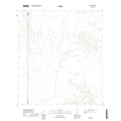
2019 Map of Sarita SW
USGS Topo · Published 2019About this map
The boundary between Brooks Co and Kenedy Co bisects this remote stretch of the South Texas brush country. This 2019 survey documents a landscape defined by ephemeral wetlands and shifting sand sheets, where human infrastructure is sparse and dictated by the necessities of ranching and large-scale land management. Modern connectivity is represented by Turcotte W, a local roadway providing access through the sandy terrain. The map's contour lines illustrate the subtle topographic variations of the region, where slight depressions often collect seasonal water, creating a distinct environmental pattern that has shaped land use in this part of the state for generations. This data reflects the modern geography of these two counties prior to further development or changes in local water management.
Find a feature on this map
2 named features on this map. Tap any name to fly to it.
Don’t see what you’re looking for? This feature index may not catch every label — zoom into the map to look around manually.
Map Details
Editions of this 2019 Sarita SW Map
This is the sole edition of this map. No revisions or reprints were ever made.
Other maps of this area

1921 · Falfurrias
USGS Topo · 1:125,000

1923 · Armstrong
USGS Topo · 1:62,500

1928 · Sarita
USGS Topo · 1:125,000

1949 · Mc Allen
USGS Topo · 1:250,000

1950 · Corpus Christi
USGS Topo · 1:250,000

1953 · Brownsville
USGS Topo · 1:250,000

1954 · McAllen
USGS Topo · 1:250,000

1954 · Sarita
USGS Topo · 1:62,500

1956 · Corpus Christi
USGS Topo · 1:250,000

1956 · Pita Camp
USGS Topo · 1:24,000