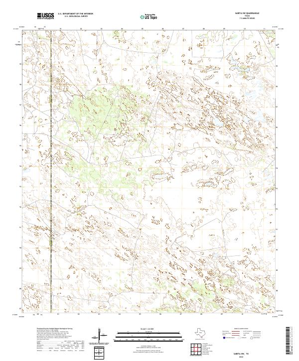
2022 Map of Sarita SW
USGS Topo · Published 2022About this map
The boundary between Brooks Co and Kenedy Co runs vertically through this portion of South Texas, marking a landscape defined by intricate natural drainage patterns and unpaved transit routes. The most prominent corridor is Turcotte W, which navigates a terrain of numerous small, scattered water bodies and depression contours characteristic of the coastal plain. Unlike more developed regions, this area remains focused on large-scale ranching and land management, with minimal permanent structures appearing on the survey. This 2022 dataset provides a clear view of the complex hydrography and the sparse, isolated network of local roads and boundaries that delineate these deep Texas ranch lands.
Find a feature on this map
2 named features on this map. Tap any name to fly to it.
Don’t see what you’re looking for? This feature index may not catch every label — zoom into the map to look around manually.
Map Details
Editions of this 2022 Sarita SW Map
This is the sole edition of this map. No revisions or reprints were ever made.
Other maps of this area

1921 · Falfurrias
USGS Topo · 1:125,000

1923 · Armstrong
USGS Topo · 1:62,500

1928 · Sarita
USGS Topo · 1:125,000

1949 · Mc Allen
USGS Topo · 1:250,000

1950 · Corpus Christi
USGS Topo · 1:250,000

1953 · Brownsville
USGS Topo · 1:250,000

1954 · McAllen
USGS Topo · 1:250,000

1954 · Sarita
USGS Topo · 1:62,500

1956 · Corpus Christi
USGS Topo · 1:250,000

1956 · Pita Camp
USGS Topo · 1:24,000