2022 Map of Sasakwa
USGS Topo · Published 2022About this map
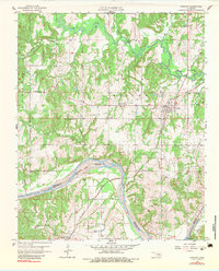
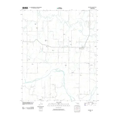
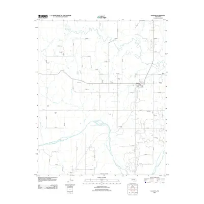
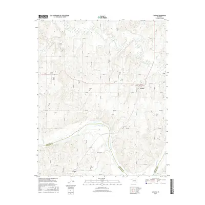
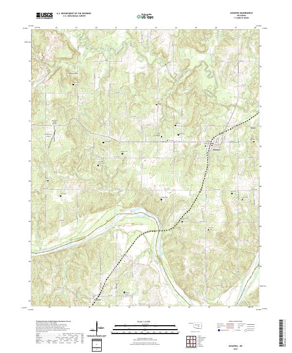
Sasakwa and Francis anchor this region along the border of Seminole and Pontotoc counties. The landscape is defined by the winding course of the Canadian River and its major tributary, the Little River, which create a complex system of creeks including Sand Creek and Barrett Branch. The map reveals a high density of small family and community cemeteries, such as the Old Mission Cemetery, Harjo Cemetery, and Milly Cemetery, reflecting the deep genealogical roots of the area. Significant local landmarks include Pheasant Wings Airport and religious centers like Spring Baptist Church/Cem and Bird Creek Church/Cem. The presence of roads like Hill-Billy Hill Road and Broadway in Sasakwa illustrates the rural transportation network connecting these historic Oklahoma settlements.
Find a feature on this map
71 named features on this map. Tap any name to fly to it.
Don’t see what you’re looking for? This feature index may not catch every label — zoom into the map to look around manually.
Map Details
Editions of this 2022 Sasakwa Map
This is the sole edition of this map. No revisions or reprints were ever made.
Historical Maps of Francis Through Time
6 maps found