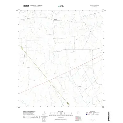
2019 Map of Saspamco SE
USGS Topo · Published 2019About this map
Fairview anchors the northern portion of this South Texas landscape, where the rural character of Wilson and Atascosa counties is defined by a network of drainage creeks and winding farm roads. The settlement is supported by Fairview Cem, while the surrounding terrain is deeply carved by watercourses including Borrego Cr, Picosa Cr, and Prieto Cr. The area reflects a mix of traditional ranching land and private aviation, evidenced by the presence of both the Ray Farm Airport to the northwest and the Boening Brothers Airport in the southeast. Transport across the quadrangle relies on a grid of county roads and state routes like FM 536 and FM 2505, which navigate the subtle rises between the various creek branches. The map captures the quiet, persistent rural layout of this region, emphasizing its transition from the Wilson County line into Atascosa County.
Find a feature on this map
39 named features on this map. Tap any name to fly to it.
Don’t see what you’re looking for? This feature index may not catch every label — zoom into the map to look around manually.
Map Details
Editions of this 2019 Saspamco SE Map
This is the sole edition of this map. No revisions or reprints were ever made.
Other maps of this area

1931 · Falls City
USGS Topo · 1:62,500

1936 · Floresville
USGS Topo · 1:62,500

1953 · Crystal City
USGS Topo · 1:250,000

1954 · San Antonio
USGS Topo · 1:250,000

1955 · Crystal City
USGS Topo · 1:250,000

1956 · Pleasanton
USGS Topo · 1:62,500

1957 · San Antonio
USGS Topo · 1:250,000

1958 · Losoya
USGS Topo · 1:24,000

1958 · Saspamco
USGS Topo · 1:24,000

1961 · Crystal City
USGS Topo · 1:250,000