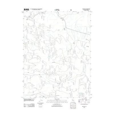
2012 Map of Sattley
USGS Topo · Published 2012About this map
Sattley stands as a focal point in this 2012 survey of the Sierra Nevada landscape, where the high mountain terrain is etched with historical routes and seasonal camps. The map documents the intricate drainage systems of Haypress Cr and Hamlin Cr, which flow through deep landforms like Wild Bill Canyon and Dark Canyon. Cultural landmarks such as the Sierraville Cem and Nichols Mill anchor the eastern slopes, while the western portion is dominated by the high-elevation crossing at Yuba Pass. Significant for genealogists and local historians, the sheet identifies isolated locations like Franklin Cabin, Ahart Camp, and French Meadow, which speak to the area's legacy of ranching, timber, and transit through the Sierras. The presence of Henness Pass and the Lake of The Woods further illustrates the complex geography of this high-country corridor.
Find a feature on this map
38 named features on this map. Tap any name to fly to it.
Don’t see what you’re looking for? This feature index may not catch every label — zoom into the map to look around manually.
Map Details
Editions of this 2012 Sattley Map
This is the sole edition of this map. No revisions or reprints were ever made.
Other maps of this area

1890 · Sierraville
USGS Topo · 1:125,000

1891 · Downieville
USGS Topo · 1:125,000

1891 · Colfax
USGS Topo · 1:125,000

1891 · Truckee
USGS Topo · 1:125,000

1892 · Sierraville
USGS Topo · 1:125,000

1892 · Colfax
USGS Topo · 1:125,000

1893 · Truckee
USGS Topo · 1:125,000

1893 · Downieville
USGS Topo · 1:125,000

1894 · Colfax
USGS Topo · 1:125,000

1894 · Sierraville
USGS Topo · 1:125,000