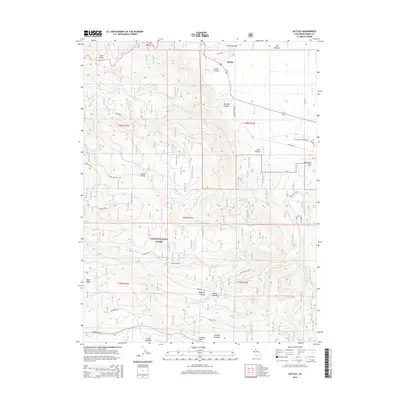
2015 Map of Sattley
USGS Topo · Published 2015About this map
Sattley and the surrounding Sierra Valley highlands are documented in this 2015 study, showcasing a landscape where high-altitude meadows meet the dense timber of the Tahoe National Forest. The geography is defined by a series of significant mountain passages, including Yuba Pass and the historic Henness Pass, which have long served as vital corridors through the Sierra Nevada. These routes connect remote settlements like Lincoln Valley and Randolph Hill to the wider region.
Find a feature on this map
44 named features on this map. Tap any name to fly to it.
Don’t see what you’re looking for? This feature index may not catch every label — zoom into the map to look around manually.
Map Details
Editions of this 2015 Sattley Map
This is the sole edition of this map. No revisions or reprints were ever made.
Other maps of this area

1890 · Sierraville
USGS Topo · 1:125,000

1891 · Downieville
USGS Topo · 1:125,000

1891 · Colfax
USGS Topo · 1:125,000

1891 · Truckee
USGS Topo · 1:125,000

1892 · Sierraville
USGS Topo · 1:125,000

1892 · Colfax
USGS Topo · 1:125,000

1893 · Truckee
USGS Topo · 1:125,000

1893 · Downieville
USGS Topo · 1:125,000

1894 · Colfax
USGS Topo · 1:125,000

1894 · Sierraville
USGS Topo · 1:125,000