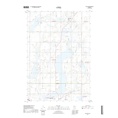
2019 Map of Sauk Lake
USGS Topo · Published 2019About this map
Sauk Lake dominates the central geography of this central Minnesota landscape, where the Sauk River flows southward through a chain of glacial water bodies. The terrain is defined by the transition from Todd County into Stearns County, anchored by the settlement of Sauk Centre at the southern end of the lake and the community of Little Sauk to the north. This mapping reveals a rural infrastructure deeply connected to its cemeteries and lakes, providing a detailed record for genealogists and local historians. Scattered burial grounds like Bethel Cem, Kandota Cem, and Svealund Cem mark the heritage of the surrounding townships. The intricate network of county roads, such as Co 50 and Co 11, connects these settlements and provides access to numerous smaller water bodies including Juergens Lake, Twin Island Lake, and Fairy Lake, illustrating the post-war development of the lakefront and rural residential patterns.
Find a feature on this map
92 named features on this map. Tap any name to fly to it.
Don’t see what you’re looking for? This feature index may not catch every label — zoom into the map to look around manually.
Map Details
Editions of this 2019 Sauk Lake Map
This is the sole edition of this map. No revisions or reprints were ever made.
Other maps of this area

1953 · Saint Cloud
USGS Topo · 1:250,000

1957 · Saint Cloud
USGS Topo · 1:250,000

1958 · Saint Cloud
USGS Topo · 1:250,000

1965 · Sauk Centre
USGS Topo · 1:24,000

1965 · Melrose
USGS Topo · 1:24,000

1965 · Raymond Lake
USGS Topo · 1:24,000

1966 · West Union
USGS Topo · 1:24,000
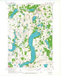
1966 · Sauk Lake
USGS Topo · 1:24,000
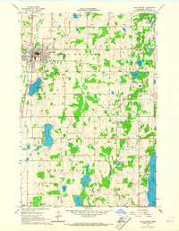
1966 · Long Prairie
USGS Topo · 1:24,000

1966 · Lake Osakis East
USGS Topo · 1:24,000