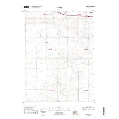
2017 Map of Savage Ranch
USGS Topo · Published 2017About this map
The North Platte River carves a winding path through this central Carbon County landscape, defining the topography from its entrance near Oxbow Bend to its northward exit. This 2017 survey highlights the namesake Savage Ranch and the surrounding natural features that carry the same name, including Savage Meadows and the Savage Hills. The terrain is characterized by a series of dramatic draws and flats, such as Hugus Draw, Iron Springs Draw, and Severson Flats, which illustrate the complex drainage patterns feeding into the river system. North of the river, the prominent Hogback ridge and Whitehorse Canyon dominate the elevation. Modern infrastructure like Co RD 347 and remnants of the Old Hwy follow the contours of the land, providing a contemporary view of the region's ranching and transit corridors.
Find a feature on this map
20 named features on this map. Tap any name to fly to it.
Don’t see what you’re looking for? This feature index may not catch every label — zoom into the map to look around manually.
Map Details
Editions of this 2017 Savage Ranch Map
This is the sole edition of this map. No revisions or reprints were ever made.
Other maps of this area

1893 · Fort Steele
USGS Topo · 1:125,000

1914 · Walcott
USGS Topo · 1:62,500

1953 · Sinclair
USGS Topo · 1:24,000

1954 · Rawlins
USGS Topo · 1:250,000

1955 · Overland
USGS Topo · 1:24,000

1955 · Overland Crossing
USGS Topo · 1:24,000

1955 · Meads
USGS Topo · 1:24,000

1955 · Savage Ranch
USGS Topo · 1:24,000

1956 · Bolten Ranch
USGS Topo · 1:62,500

1958 · Rawlins
USGS Topo · 1:250,000