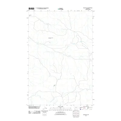
2011 Map of Savage SE
USGS Topo · Published 2011About this map
Valentine Flat characterizes the upper reaches of this Eastern Montana landscape, where the topography is defined by an intricate network of drainages and small-scale water management. The 2011 U.S. Geological Survey data shows a terrain shaped by ranching and grazing needs, notably marked by the Smith Creek Grazing District Dam and the Temple Dam. These structures are essential for managing water resources in an arid environment where seasonal flows are critical.
Find a feature on this map
7 named features on this map. Tap any name to fly to it.
Don’t see what you’re looking for? This feature index may not catch every label — zoom into the map to look around manually.
Map Details
Editions of this 2011 Savage SE Map
This is the sole edition of this map. No revisions or reprints were ever made.
Other maps of this area

1909 · Glendive
USGS Topo · 1:250,000

1954 · Glendive
USGS Topo · 1:250,000

1957 · Glendive
USGS Topo · 1:250,000

1958 · Glendive
USGS Topo · 1:250,000

1966 · Savage
USGS Topo · 1:24,000

1966 · Savage SE
USGS Topo · 1:24,000

1966 · Savage SW
USGS Topo · 1:24,000

1966 · Knife River Mine
USGS Topo · 1:24,000

1966 · Skaar NW
USGS Topo · 1:24,000

1981 · Glendive
USGS Topo · 1:100,000