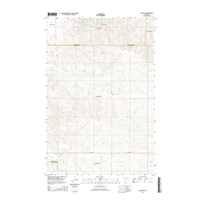
2014 Map of Savage SE
USGS Topo · Published 2014About this map
Valentine Flat and the deep incisions of Devils Canyon define this section of the eastern Montana badlands along the border of Richland and Wibaux counties. This 2014 survey captures a sparse, high-plains landscape where the drainage patterns of N Fork Dry Cr and Dry Creek dictate the local geography. The map reveals the intersection of three counties, including the border with Dawson County in the southwest corner. Transportation in this remote area is limited to section-line routes and rural connectors such as Dry Creek Rd and Lufboro Rd, reflecting the long-standing ranching and agricultural patterns of the region. The map provides a detailed view of the terrain's transition from the flat tablelands to the complex draws of Cottonwood Creek.
Find a feature on this map
13 named features on this map. Tap any name to fly to it.
Don’t see what you’re looking for? This feature index may not catch every label — zoom into the map to look around manually.
Map Details
Editions of this 2014 Savage SE Map
This is the sole edition of this map. No revisions or reprints were ever made.
Other maps of this area

1909 · Glendive
USGS Topo · 1:250,000

1954 · Glendive
USGS Topo · 1:250,000

1957 · Glendive
USGS Topo · 1:250,000

1958 · Glendive
USGS Topo · 1:250,000

1966 · Savage
USGS Topo · 1:24,000

1966 · Savage SE
USGS Topo · 1:24,000

1966 · Savage SW
USGS Topo · 1:24,000

1966 · Knife River Mine
USGS Topo · 1:24,000

1966 · Skaar NW
USGS Topo · 1:24,000

1981 · Glendive
USGS Topo · 1:100,000