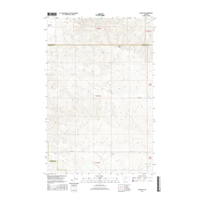
2017 Map of Savage SE
USGS Topo · Published 2017About this map
Valentine Flat and the rugged drainage of Devils Canyon define this section of the eastern Montana badlands during the late twenty-teens. The landscape is marked by the complex intersection of county lines where Richland, Wibaux, and Dawson Counties meet, revealing a terrain deeply etched by intermittent waterways. Primary drainage systems include Dry Cr and its N-Fork Dry Cr in the central and northern sections, while the southern portion is shaped by the winding course of Cottonwood Cr. Human presence in this section of the Great Plains is largely represented by rural infrastructure like Dry Creek Rd and Lufbord Rd, which navigate the high ridges and coulees. This survey illustrates the persistent land-use patterns of the American West, where township and range lines overlay a topography dominated by erosion and natural watercourses.
Find a feature on this map
15 named features on this map. Tap any name to fly to it.
Don’t see what you’re looking for? This feature index may not catch every label — zoom into the map to look around manually.
Map Details
Editions of this 2017 Savage SE Map
This is the sole edition of this map. No revisions or reprints were ever made.
Other maps of this area

1909 · Glendive
USGS Topo · 1:250,000

1954 · Glendive
USGS Topo · 1:250,000

1957 · Glendive
USGS Topo · 1:250,000

1958 · Glendive
USGS Topo · 1:250,000

1966 · Savage
USGS Topo · 1:24,000

1966 · Savage SE
USGS Topo · 1:24,000

1966 · Savage SW
USGS Topo · 1:24,000

1966 · Knife River Mine
USGS Topo · 1:24,000

1966 · Skaar NW
USGS Topo · 1:24,000

1981 · Glendive
USGS Topo · 1:100,000