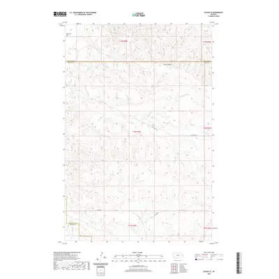
2020 Map of Savage SE
USGS Topo · Published 2020About this map
Valentine Flat and the deep incision of Devils Canyon define this high prairie landscape on the border of Richland, Wibaux, and Dawson counties. The area is characterized by a complex drainage network feeding into Dry Cr and its various branches, including N Fork Dry Cr and S Fork Dry Cr. This modern survey illustrates the sparse, ranching-oriented infrastructure of eastern Montana, where life and travel are dictated by the terrain. Primary access through the rugged coulees is provided by Dry Creek Rd and Lufbord Rd, which follow the natural contours of the land. The map also traces the winding course of Cottonwood Cr and Castle Cr, providing a detailed view of the water sources that have long drawn settlers and livestock to this portion of the northern Great Plains.
Find a feature on this map
17 named features on this map. Tap any name to fly to it.
Don’t see what you’re looking for? This feature index may not catch every label — zoom into the map to look around manually.
Map Details
Editions of this 2020 Savage SE Map
This is the sole edition of this map. No revisions or reprints were ever made.
Other maps of this area

1909 · Glendive
USGS Topo · 1:250,000

1954 · Glendive
USGS Topo · 1:250,000

1957 · Glendive
USGS Topo · 1:250,000

1958 · Glendive
USGS Topo · 1:250,000

1966 · Savage
USGS Topo · 1:24,000

1966 · Savage SE
USGS Topo · 1:24,000

1966 · Savage SW
USGS Topo · 1:24,000

1966 · Knife River Mine
USGS Topo · 1:24,000

1966 · Skaar NW
USGS Topo · 1:24,000

1981 · Glendive
USGS Topo · 1:100,000