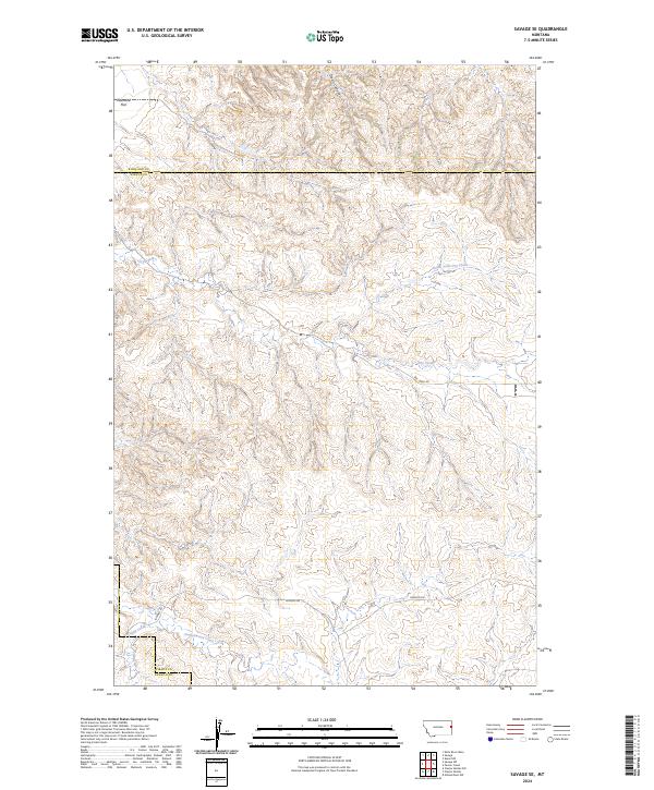
2024 Map of Savage SE
USGS Topo · Published 2024About this map
Valentine Flat anchors the northwestern corner of this landscape, marking a rare stretch of level terrain above the complex drainage networks of eastern Montana. The map reveals an intricate system of seasonal watercourses, including the Devils Canyon and the winding North Fork Dry Creek, which carve through the high plains. The transition between Richland and Wibaux counties is clearly defined, showing how administrative boundaries bisect this cattle-and-range country.
Find a feature on this map
17 named features on this map. Tap any name to fly to it.
Don’t see what you’re looking for? This feature index may not catch every label — zoom into the map to look around manually.
Map Details
Editions of this 2024 Savage SE Map
This is the sole edition of this map. No revisions or reprints were ever made.
Other maps of this area

1909 · Glendive
USGS Topo · 1:250,000

1954 · Glendive
USGS Topo · 1:250,000

1957 · Glendive
USGS Topo · 1:250,000

1958 · Glendive
USGS Topo · 1:250,000

1966 · Savage
USGS Topo · 1:24,000

1966 · Savage SE
USGS Topo · 1:24,000

1966 · Savage SW
USGS Topo · 1:24,000

1966 · Knife River Mine
USGS Topo · 1:24,000

1966 · Skaar NW
USGS Topo · 1:24,000

1981 · Glendive
USGS Topo · 1:100,000