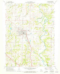
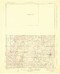
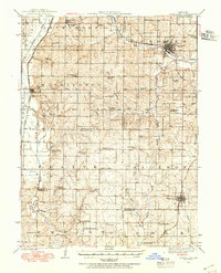
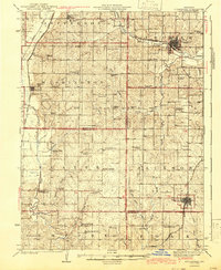
1971 Map of Savannah
USGS Topo · Published 1973About this map
The county seat of Savannah serves as the central hub of this 1971 Andrew County survey, showing a landscape defined by the winding River One Hundred and Two and the infrastructure of the Chicago and North Western Railroad. Local geography is marked by numerous family and community landmarks, including Kellogg Cem, Coffman Cem, and Greenwick Cem, which provide significant points of interest for genealogical research. The town itself is detailed with the local High Sch, a Park, and the City Reservoir.
Find a feature on this map
36 named features on this map. Tap any name to fly to it.
Don’t see what you’re looking for? This feature index may not catch every label — zoom into the map to look around manually.
Map Details
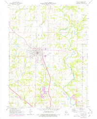
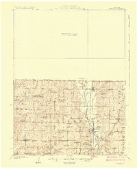
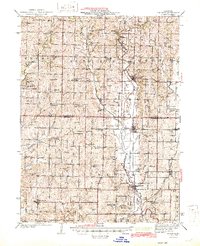
Editions of this 1971 Savannah Map
2 editions found
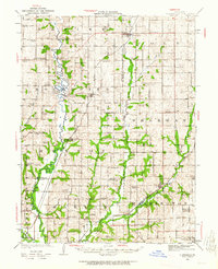
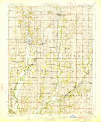
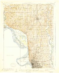
Other maps of this area
1923 · Clarksdale
USGS Topo · 1:62,500

1924 · St. Joseph
USGS Topo · 1:62,500
1925 · Clarksdale
USGS Topo · 1:62,500
1925 · Stanberry
USGS Topo · 1:62,500
1926 · Saint Joseph
USGS Topo · 1:62,500
1927 · Bolckow
USGS Topo · 1:62,500
1939 · Stanberry
USGS Topo · 1:62,500
1943 · Stanberry
USGS Topo · 1:62,500
1945 · Bolckow
USGS Topo · 1:62,500

1950 · Kansas City
USGS Topo · 1:250,000