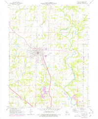
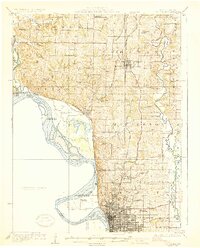
1971 Map of Savannah
USGS Topo · Published 1978About this map
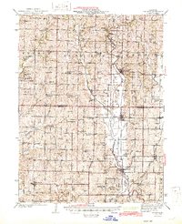
Savannah serves as the central hub of this 1970s landscape, where the Chicago and North Western Railroad and Burlington Northern lines intersect amidst the rolling hills of Andrew County. The map details a community defined by its civic infrastructure and agricultural heritage, featuring the High Sch and City Reservoir near the town center, while numerous family and community burial grounds like Kellogg Cem and Earls Cem dot the surrounding countryside. The meandering path of the One Hundred and Two River dominates the eastern section, creating a distinct topographical boundary between Benton and Empire townships. Further south near the Jefferson township line, several Quarries and the Cumberland Ridge Ch suggest a localized economy based on stone extraction and established rural congregations.
Find a feature on this map
31 named features on this map. Tap any name to fly to it.
Don’t see what you’re looking for? This feature index may not catch every label — zoom into the map to look around manually.
Map Details
Editions of this 1971 Savannah Map
2 editions found

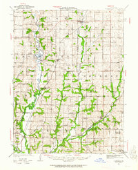
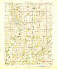
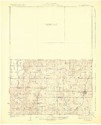
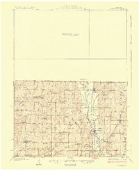
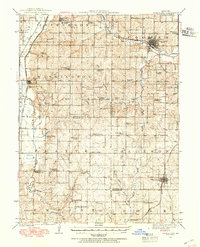
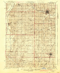
Other maps of this area
1923 · Clarksdale
USGS Topo · 1:62,500

1924 · St. Joseph
USGS Topo · 1:62,500
1925 · Clarksdale
USGS Topo · 1:62,500
1925 · Stanberry
USGS Topo · 1:62,500
1926 · Saint Joseph
USGS Topo · 1:62,500
1927 · Bolckow
USGS Topo · 1:62,500
1939 · Stanberry
USGS Topo · 1:62,500
1943 · Stanberry
USGS Topo · 1:62,500
1945 · Bolckow
USGS Topo · 1:62,500

1950 · Kansas City
USGS Topo · 1:250,000