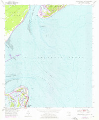
1955 Map of Savannah Beach North
USGS Topo · Published 1976About this map
Tybee Island serves as the focal point of this coastal survey, where the Savannah River meets the Atlantic Ocean. The map captures a moment of transition for the northern end of the island, highlighting the historic installation at Fort Screven and the nearby Tybee Lighthouse. Shoreline engineering is evident through the North Jetty and South Jetty structures designed to manage the river's mouth, while the interior of the island is crisscrossed by tidal waterways like Horse Pen Creek and Crab Creek.
Find a feature on this map
34 named features on this map. Tap any name to fly to it.
Don’t see what you’re looking for? This feature index may not catch every label — zoom into the map to look around manually.
Map Details
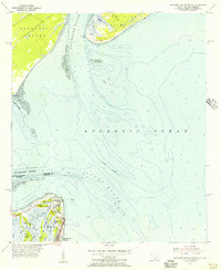
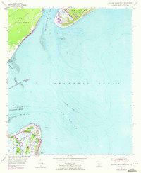
Editions of this 1955 Savannah Beach North Map
3 editions found
Other maps of this area

1920 · Wassaw Sound
USGS Topo · 1:62,500

1920 · Hilton Head
USGS Topo · 1:62,500

1920 · Bluffton
USGS Topo · 1:62,500

1945 · Bluffton
USGS Topo · 1:62,500

1945 · Hilton Head
USGS Topo · 1:62,500

1945 · Wassaw Sound
USGS Topo · 1:62,500

1946 · Brunswick
USGS Topo · 1:250,000

1947 · Savannah
USGS Topo · 1:250,000

1948 · Brunswick
USGS Topo · 1:250,000

1948 · Savannah
USGS Topo · 1:250,000