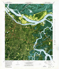
1978 Map of Savannah
USGS Topo · Published 1978About this map
The Savannah River divides Georgia and South Carolina in this detailed orthophotomap, revealing the complex interplay of industrial shipping lanes and coastal wetlands during the late 1970s. The dense street grid of Savannah transitions eastward into a landscape dominated by the Wilmington River and the Intracoastal Waterway, where maritime heritage is evident at Fort Jackson and the riverfront at Thunderbolt. Significant land use is dedicated to institutional and military footprints, including the expansive Hunter Army Airfield and Savannah State College.
Find a feature on this map
71 named features on this map. Tap any name to fly to it.
Don’t see what you’re looking for? This feature index may not catch every label — zoom into the map to look around manually.
Map Details
Editions of this 1978 Savannah Map
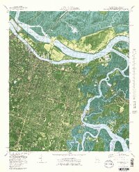
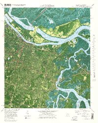
3 editions found
Other maps of this area

1920 · Wassaw Sound
USGS Topo · 1:62,500

1920 · Bluffton
USGS Topo · 1:62,500

1942 · Savannah
USGS Topo · 1:62,500

1944 · Ossabaw Island
USGS Topo · 1:62,500

1945 · Bluffton
USGS Topo · 1:62,500

1945 · Ossabaw Island
USGS Topo · 1:62,500

1945 · Wassaw Sound
USGS Topo · 1:62,500

1946 · Brunswick
USGS Topo · 1:250,000

1947 · Savannah
USGS Topo · 1:250,000

1948 · Brunswick
USGS Topo · 1:250,000