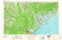
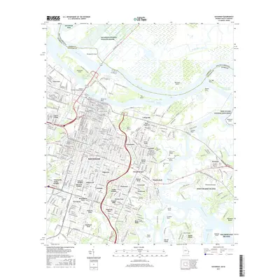
1978 Map of Savannah
USGS Topo · Published 1978About this map
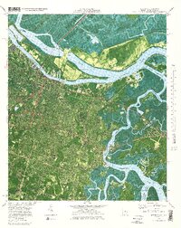
Savannah is documented in this 1970s orthophotomap as a bustling river city and industrial hub at the edge of the coastal marshlands. The landscape is defined by the heavy infrastructure of the Savannah River, where the Talmadge Memorial Bridge spans toward Hutchinson Island and its network of Industrial Waste Ponds. This period shows the city's eastern expansion toward East Savannah and the fishing village of Thunderbolt, situated along the Wilmington River.
Find a feature on this map
57 named features on this map. Tap any name to fly to it.
Don’t see what you’re looking for? This feature index may not catch every label — zoom into the map to look around manually.
Map Details
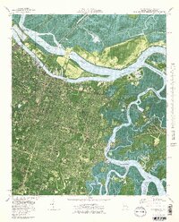
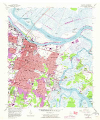
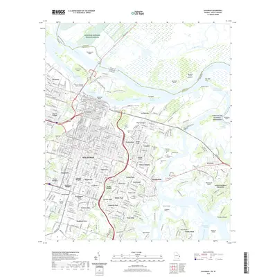
Editions of this 1978 Savannah Map
3 editions found
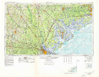
Historical Maps of Savannah Through Time
14 maps found

1942 Savannah
Chatham County, GA

1947 Savannah
Chatham County, GA

1948 Savannah
Chatham County, GA
1955 Savannah
Chatham County, GA
1957 Savannah
Chatham County, GA

1960 Savannah
Chatham County, GA
1961 Savannah
Chatham County, GA
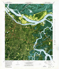
1978 Savannah
Chatham County, GA

1981 Savannah
Chatham County, GA
2012 Savannah
Chatham County, GA
2014 Savannah
Chatham County, GA
2017 Savannah
Chatham County, GA
2020 Savannah
Chatham County, GA
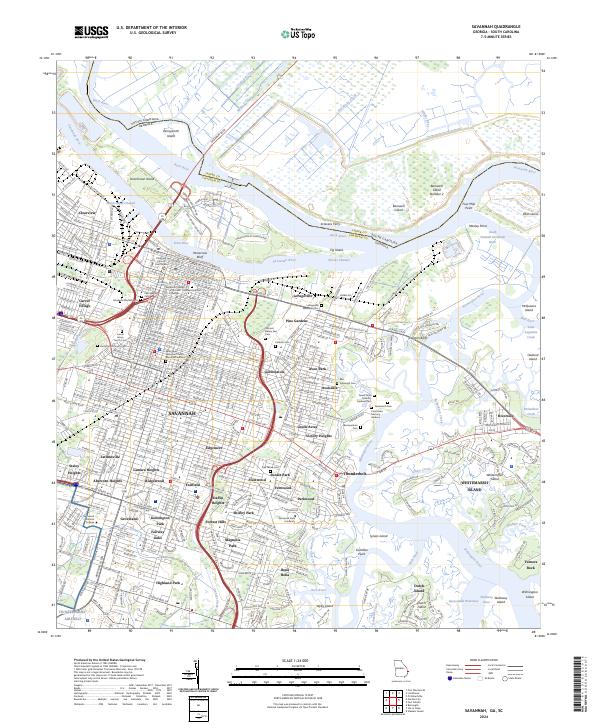
2024 Savannah
Chatham County, GA