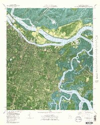
1978 Map of Savannah
USGS Topo · Published 1978About this map
The Savannah River defines the industrial and ecological character of this coastal Georgia landscape, where the bustling city grid meets a complex network of marshes and waterways. During the mid-1970s, the urban sprawl reached toward the south and east, encompassing neighborhoods like Carver Village and East Savannah. To the north, Hutchinson Island and Pennyworth Island sit between the main river channel and the Back River, marking the boundary with South Carolina. Significant institutional footprints are visible across the quadrangle, from the expansive Hunter Army Airfield in the southwest to Savannah State College near the Wilmington River. Cultural landmarks like the historic Fort Jackson stand near modern industrial sites, including the Industrial Waste Ponds on Elba Island, illustrating the tension between preservation and development along the Intracoastal Waterway.
Find a feature on this map
52 named features on this map. Tap any name to fly to it.
Don’t see what you’re looking for? This feature index may not catch every label — zoom into the map to look around manually.
Map Details
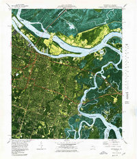
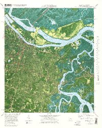
Editions of this 1978 Savannah Map
3 editions found
Other maps of this area

1920 · Wassaw Sound
USGS Topo · 1:62,500

1920 · Bluffton
USGS Topo · 1:62,500

1942 · Savannah
USGS Topo · 1:62,500

1944 · Ossabaw Island
USGS Topo · 1:62,500

1945 · Bluffton
USGS Topo · 1:62,500

1945 · Ossabaw Island
USGS Topo · 1:62,500

1945 · Wassaw Sound
USGS Topo · 1:62,500

1946 · Brunswick
USGS Topo · 1:250,000

1947 · Savannah
USGS Topo · 1:250,000

1948 · Brunswick
USGS Topo · 1:250,000